Need a Manning Park Map? You’ll Find it Here...
With a Manning Park map in your hands and the untamed beauty of the Cascades on your doorstep; your adventure at our resort starts here.
Choose Your Own Path This Summer
Hiking Trails at Manning Park Resort
With the Cascades Mountains and some of Canada’s most scenic trails to discover, it’s time to put on your hiking boots, pick up a Manning Park trail map and get outside. Choose your own path from the diverse network of trails that wind their way through the mountains.
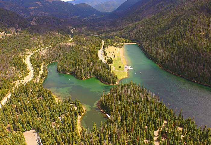
Hike along rivers and lakes, through the alpine valleys, and all the way to the highest peaks of the Cascades following well-worn trails that have been used for thousands of years. Don’t forget to take a break and a deep breath in as you look out over the park from spectacular vantage points along the way.
Manning Park Trail Maps
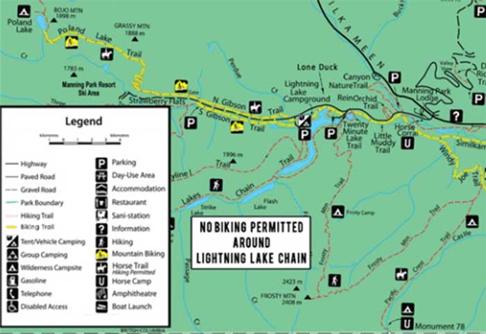
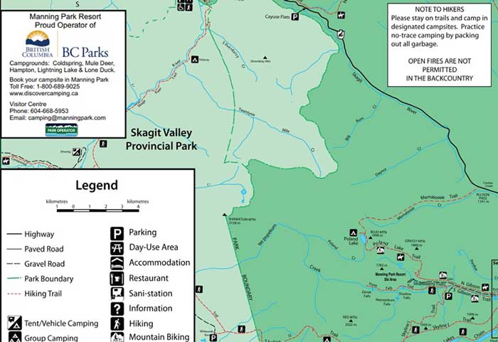
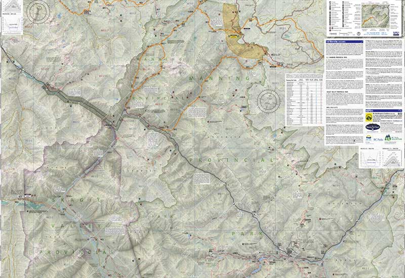
Each Manning Park map gives a detailed view of the difficulty level of the trail, as well as indicating those that can be accessed by bike or on horseback. Our selection of Manning Park trail maps includes detailed recreational and topographical maps, and you can pick up a copy from the Country Store or the Visitor Centre.
The E.C. Manning Provincial Park map is available to download below and includes some basic trail information.
| Park size: | 83,671 ha | Species of Birds: | 206 |
| Park established: | 1941 | Species of Mammals: | 63 |
| Annual Visitation: | 994,150 | Hiking Trails: | Over 300 kM |
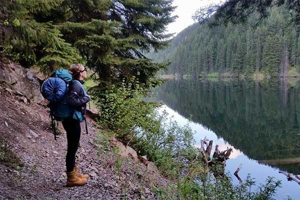
Within E.C. Manning Provincial Park there are trails to suit every level of fitness, from day trips in the Lightning Lake area to multi-day adventures in the backcountry. And if a hike isn’t quite what you’re looking for, there are biking and horseback riding trails to enjoy as well.
Please Note!
For your own safety and the preservation of the park, please obey posted signs and keep to designated trails. The plants at Manning Park are affected by extreme weather and a short growing season. For this reason, we ask that hikers and pets stay on trails and do not trample or pick the flora. During the winter season, all trails are open to snowshoeing, backcountry skiing and winter hiking. Any persons using the trails during the winter season do so at their own risk.
Winter Season Trail Maps
| Base Elevation: | 4,451 ft (1,357 m) | Number of runs: | 34 |
| Summit Elevation: | 5,868 ft (1,789m) | Longest Run: | 6,375 Ft (1,943 m) |
| Vertical Drop: | 1,417 ft (432 m) | Types of Lifts: | 1 Quad, 1 Double, |
| Skiable Area: | 346 acres (140 ha) | 1 Handle-Tow, 1 T-Bar, | |
| Annual Snowfall: | 296 in (743 cm) |

