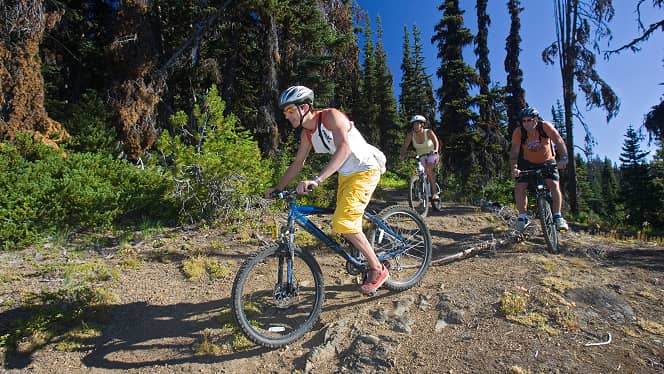
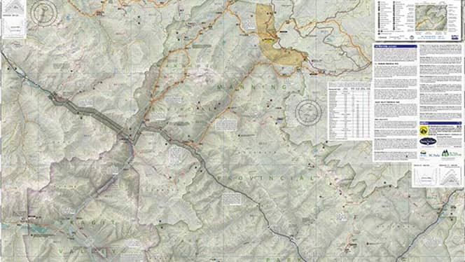
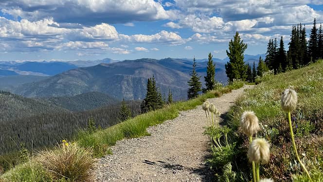
Manning Parks hiking trails weave through a breathtaking tapestry of mountain peaks, alpine meadows, and tranquil forests. Every path tells a story — from gentle lakeside strolls to rugged summit climbs that reward you with sweeping views of the Cascade Mountains.
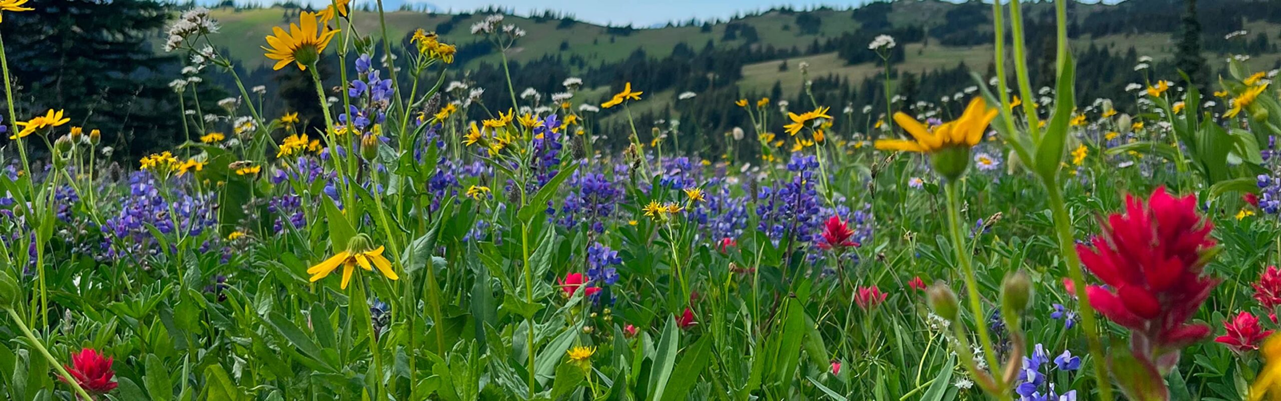
Immerse yourself in nature’s rhythm as you wander among towering evergreens, wildflower-dotted slopes, and crystal-clear streams. Along the way, you may spot deer grazing in the valleys, marmots sunbathing on rocky ledges, or the vibrant flash of a Whiskey Jack overhead.
With a wide array of trails suited for every skill level, there’s an adventure waiting for everyone — from families and first-time explorers to seasoned hikers chasing new horizons. Whether you seek serenity or challenge, a short wander or a full-day trek, Manning Parks trails promise moments that stay with you long after the journey ends.
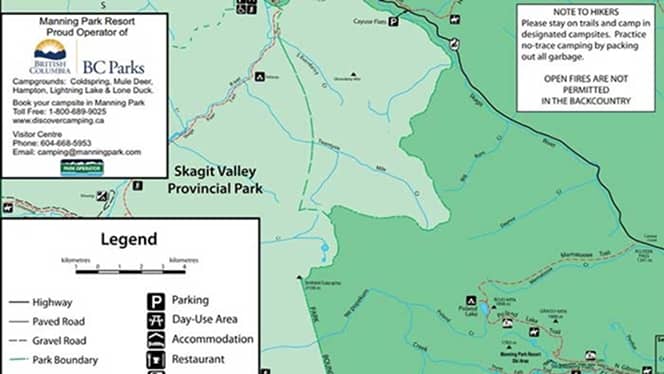
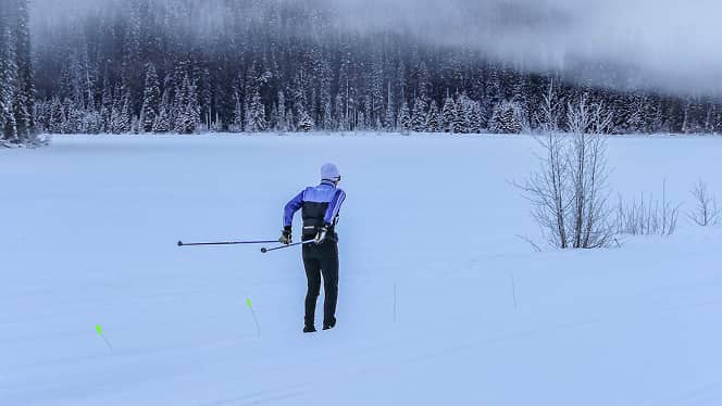
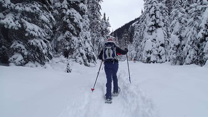
For your own safety and the preservation of the park, please obey posted signs and keep to designated trails. The plants at Manning Park are affected by extreme weather and a short growing season. For this reason, we ask that hikers and pets stay on trails and do not trample or pick the flora. During the winter season, all trails are open to snowshoeing, backcountry skiing and winter hiking. Any persons using the trails during the winter season do so at their own risk.